
Knowledge of the weather is as crucial to today’s sailor as it was two hundred years ago.
Fortunately, advances in technology have put weather forecasting capabilities within the grasp of the average sailor, who with the click of just a few buttons can bring up surface analysis maps which draw on the talents of some of the world’s most knowledgeable meteorologists. With analysis in hand, and a relatively small degree of knowledge, every sailor is better prepared to face conditions at sea.
I am not a trained meteorologist. I’m simply a sailor who found a need to learn a little about the weather. A first glance at a surface analysis contains a vast array of confusing symbols and colors. It must require nothing short of genius to interpret. Fortunately, that couldn’t be further from the truth. With a short amount of study, the isobars, high-pressure and low-pressure areas, cold and warm fronts, troughs, and ship reports begin to jump off the page to explain why it’s raining right now. Or, you can expect stormy conditions tomorrow. Therefore, it is a good day to stay at home by the fire. So, enjoy a good book and excellent company.
What is the most important aspect to know about the weather?
Ask this question of five sailors in a bar, and you will likely get six different answers, mostly focused on storms. Not true. Knowing the wind is the number one factor a sailor can know. Will there be too much or too little? Interestingly, too little is more often the case, and part of the task of a good navigator is to plan the route that offer the best wind for the sailing destination in mind. Whether that destination is a day sail on San Francisco Bay, or a Pacific Puddle Jump from Mexico to French Polynesia, understanding where the wind is, and effects of land and latitude go a long way to making the voyage safe and enjoyable.
My goal with this website is to aid you in becoming a knowledgeable navigator.
Each article is designed to further your education. In effect, it is an online training class composed of blog posts, videos, and practice exercises. Each post is topical. In chronological order, we explore weather beginning on a global scale. Going from high level to a detailed view, we look at all aspects of weather, right down to local effects. For example; why does wind typically blow from the Northwest along the central coast of California? However, why does it suddenly change to a Southwest wind in San Francisco Bay? How is that same wind is impacted by Alcatraz Island sitting the middle of the bay.
All weather is based on the relationship of the Sun to the Earth.
Warm air rises. Cool air sinks. The Earth “rotates under the Sun.” Driving all of the weather patterns we experience. Let’s start our weather education with a simple drawing of a large scale process scaled down to size.
An Island in the Sun

A great deal of information is found in this simple image. Some of it is obvious, and some not.
- The sun heats everything, however, land heats faster than water.
- Warm air rises. In this case, the “packet” of air directly above the island moves upward.
- Warm air is able to hold more moisture than cooler air.
- Wind is the movement of air from one place to another.
- As the packet of warm air rises, it begins to cool back down.
- When the packet of air cools to a certain point (called the dew point) it condenses into clouds.
- At some point, the cooling air begins to move away from the newly arriving warmer air.
- The cooled air begin to sinks, replacing the cool air moving toward the island.
- The rising warmer air over the land creates an area of lower pressure (less air).
- The sinking cool air creates an area of high pressure (more air).
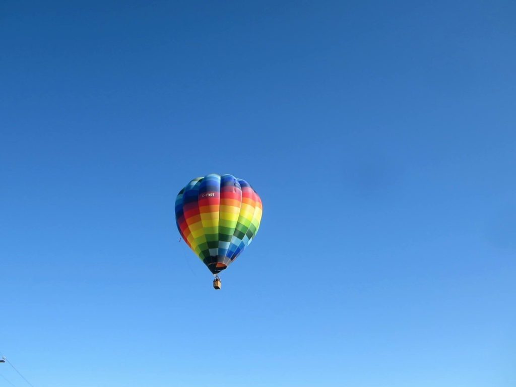
Here’s another visual for you. The packet of air above the island is like a hot air balloon. As the air inside warms, the balloon rises. Just like the air in the balloon the packet of air rises as a unit. Warming, rising, condensing, and moving away from the source of the heat more or less as a single unit.
That’s enough for now. In the next post, we look at the same process on a global scale.